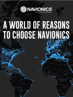
Want to see something cool? Take a look at Navionics' Heat Map:
A World of Reasons To Choose Navionics.

Enjoy stress-free time on the water
Wherever you want to explore, you can rely on Navionics charts that are continuously enhanced with more than 2,000 daily updates every day worldwide.
See what's new
Click the Heatmap to see where we've made updates and edits in the last 6 months, 1 year or 2 years. Then, check out some recent examples and view the latest content on our Chart Viewer.
Don't miss a thing
With Navionics you can update your charts every time you go out on the water. And be confident you have the most current charts available, including new bottom contour detail for marine and lakes (great for increasing awareness of shallow waters and for locating fishing areas at any depth level), new official chart data, sand bar shifts, buoy changes, newly marked rocks and much more.
Anyone who has an active one-year subscription can access updates every day—with no download limit.
Now that is cool! Thanks Navionics for making navigating easier, and for supporting sailing and Summer Sailstice.
![]()